

Fires allowed in all designated fire pits and grills. Propane and gas grills allowed.
Drinking Water on Sucia Island Marine State Park will be turned off for the season on September 30, 2025. After September 30, 2025, please plan accordingly to pack in and supply your own water for use during your stay.

Eastsound, WA 98245
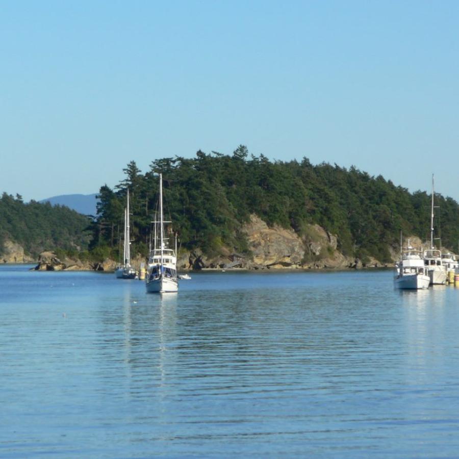
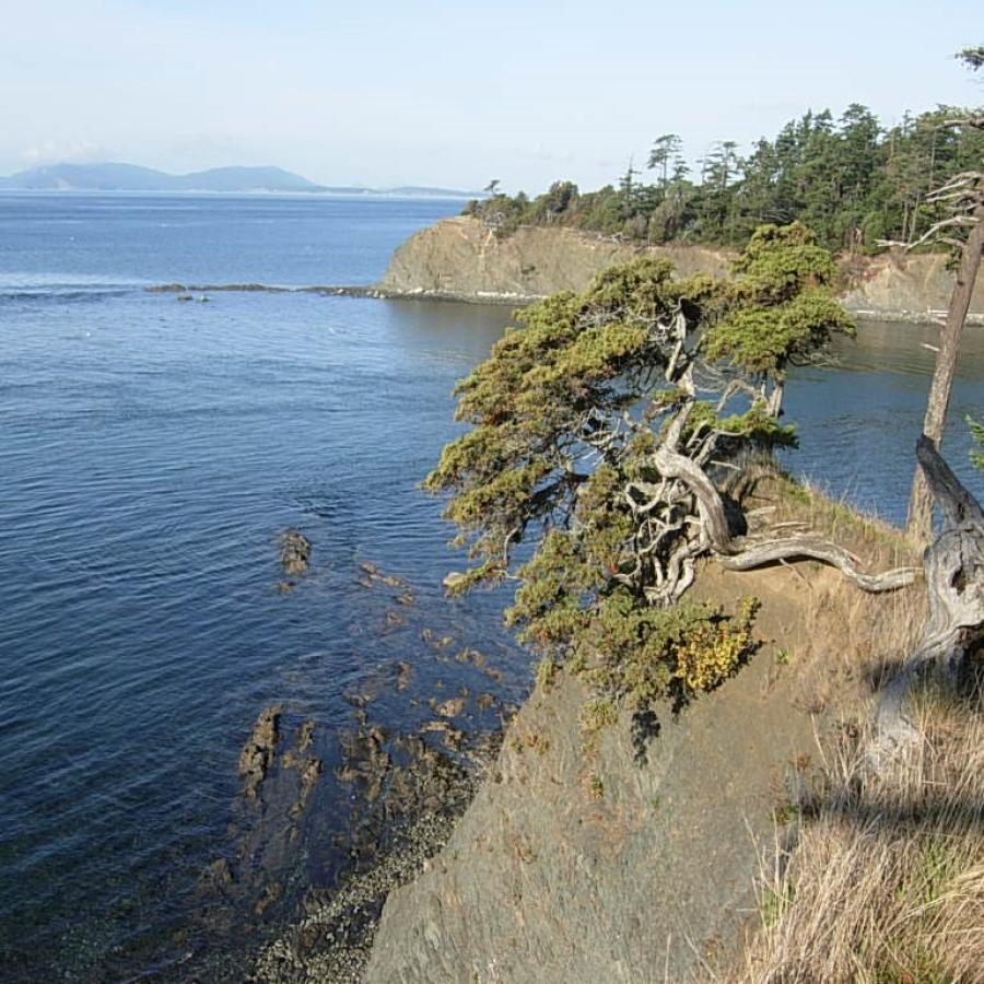
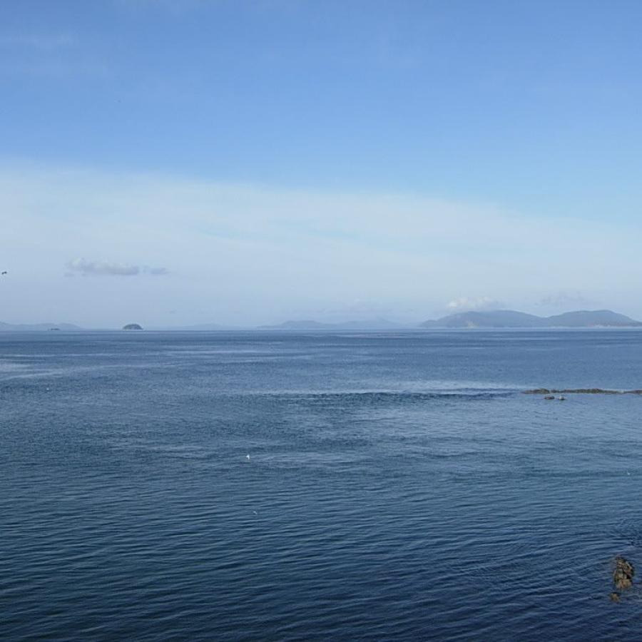
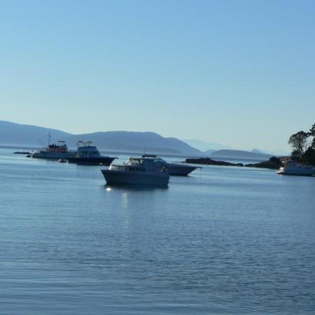
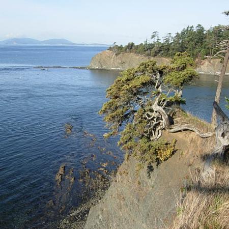
Emerald waters, forested trails, magnificent sunsets and sandstone formations have made Sucia Island a crown jewel among our state marine parks. Venture into the coves and harbors and discover why it is a world-class boating destination.
Fossil collecting is strictly prohibited.
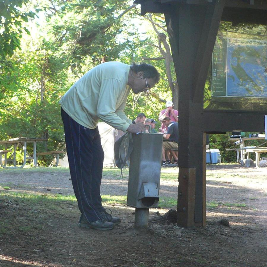
There are no services on this island. Potable water is available from early April to September. No garbage services on the island, practice Leave No Trace principles. Read our blog to learn more about the LNT principles.
Boaters should use caution when in the waters around this park and should check their charts frequently, paying particular attention to Clements Reef on the north shore of Sucia, as well as the entrances to Ewing Cove, Fox Cove and Shallow Bay.
A long reef extends to the west of Little Sucia Island. Reefs also extend outward from Ev Henry Point, North and South Finger Islands and the Cluster Islands.
Beach Exploration
Bird Watching
Boating
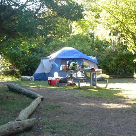
Camping
Crabbing
Fishing
Hiking, Walking, Rolling and Running
Kayaking
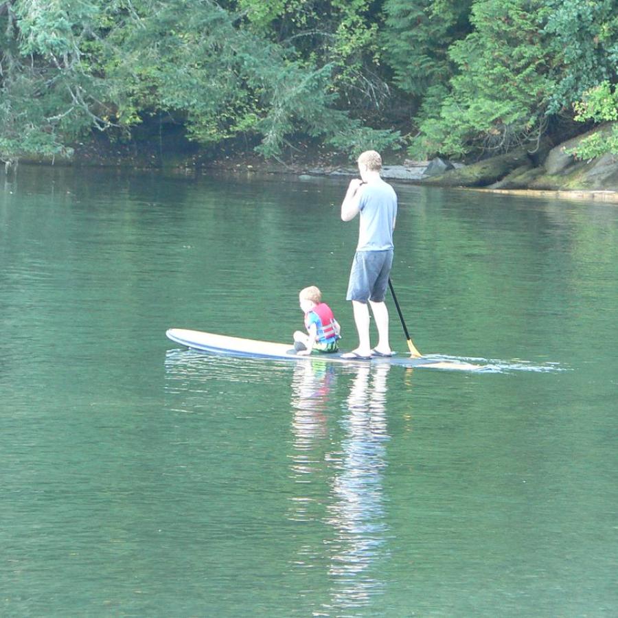
Paddleboarding
Scuba Diving
Shellfishing
Swimming
Fire Pit
Park Ranger Station
Restrooms
Buoys
Dock
Moorage
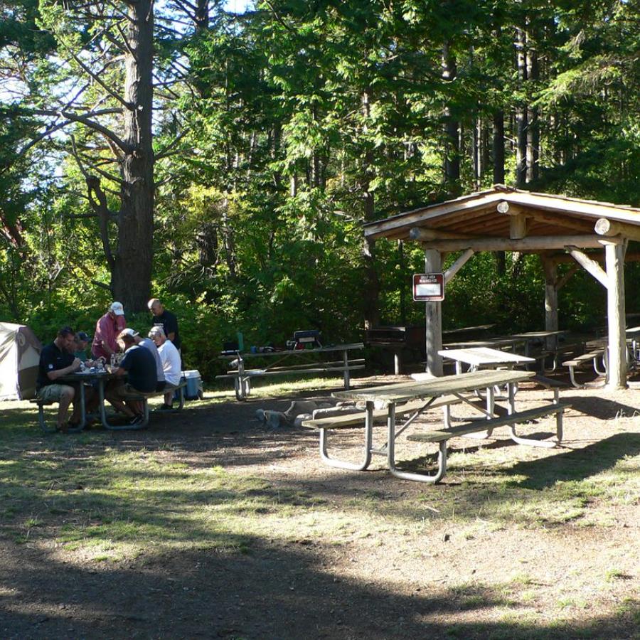
Picnic Shelters
Picnic Tables
Hiking Trails
Forest
Island
Mountain View
Ocean Beach
Rocky Beach
Saltwater
Sandy Beach
Seasonal Wildflowers
Viewpoint
Wetland
Wildlife Viewing
Fossil collecting is strictly prohibited.
There are no services on this island. Potable water is available from early April to September. No garbage services on the island, practice Leave No Trace principles. Read our blog to learn more about the LNT principles.
Boaters should use caution when in the waters around this park and should check their charts frequently, paying particular attention to Clements Reef on the north shore of Sucia, as well as the entrances to Ewing Cove, Fox Cove and Shallow Bay.
A long reef extends to the west of Little Sucia Island. Reefs also extend outward from Ev Henry Point, North and South Finger Islands and the Cluster Islands.
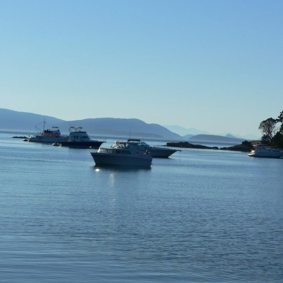
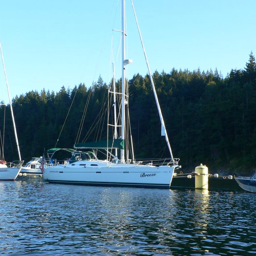
Sucia has 48 mooring buoys, two linear moorage systems and two docks. These are found at the following locations around the island:
Dock 2 is removed from October - April to prevent storm damage. Mooring buoys remain in place all year. Anchorage is available in all the bays and coves, there is no fee for boats riding on their own anchor.
The bottoms are generally sandy mud, but in some locations eelgrass and seaweed may make setting anchor difficult.
This park offers phone in buoy registration. For instructions, visit the Boating Moorage page.
There are 60 standard campsites available first-come, first-served. The 4 group camps are reservable.
Visitors with disabilities may call the park at (360) 376-2073 for moorage and camping accommodations.
Day-use shelters and areas are reservable. All other picnic tables are first-come, first-served.
Learn about seasonal closures and operational changes during the off-season on the Winter Schedule page.
The nearest fuel and groceries are available seasonally at West Beach Resort on Orcas Island. Full-service sites are located at Blaine, Deer, Roche and Friday harbors.